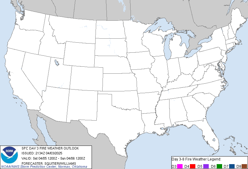
Updated: Fri Apr 26 18:44:02 UTC 2024
Day 3-8 Fire Weather Outlook Issued on Apr 26, 2024
|
|
| Risk |
Area (sq. mi.) |
Area Pop. |
Some Larger Population Centers in Risk Area |
| No Risk Areas Forecast |
|
|
| D3 | Sun, Apr 28, 2024 - Mon, Apr 29, 2024 |
D6 | Wed, May 01, 2024 - Thu, May 02, 2024 |
| D4 | Mon, Apr 29, 2024 - Tue, Apr 30, 2024 |
D7 | Thu, May 02, 2024 - Fri, May 03, 2024 |
| D5 | Tue, Apr 30, 2024 - Wed, May 01, 2024 |
D8 | Fri, May 03, 2024 - Sat, May 04, 2024 |
| (All days are valid from 12 UTC - 12 UTC) |
|
   ZCZC SPCFWDD38 ALL
   FNUS28 KWNS 261840

   Day 3-8 Fire Weather Outlook
   NWS Storm Prediction Center Norman OK
   0140 PM CDT Fri Apr 26 2024

   Valid 281200Z - 041200Z

   A strong mid-level trough will shift into the Upper Midwest on
   Sunday/Monday. Beyond Monday a more zonal pattern should lead to
   relatively benign fire weather conditions for much of the day 4-8
   period. The only exception will be mid-week when some potential for
   lee cyclogenesis in Colorado may increase fire-weather potential.

   ...Day 3/Sunday - Southern High Plains...
   Some dry and breezy conditions are possible in the southern High
   Plains again on Sunday. These conditions should be mostly confined
   to southeast New Mexico and vicinity where stronger mid-level flow
   should be present and at least some weak lee cyclogenesis is
   possible with a passing weak mid-level shortwave trough.

   ...Day 6/Wednesday - eastern New Mexico...
   Some forecast guidance shows a mid-level shortwave trough moving
   across the Rockies by mid-week with a lee cyclone developing. If
   this occurs, some dry and breezy conditions will be likely across
   portions of eastern New Mexico. However, there is still considerable
   model uncertainty with respect to the evolution of the pattern, and
   winds are relatively weak with forecast solutions which do have a
   stronger lee cyclone. For those reasons, no probabilities have been
   added at this time. The pattern will continue to be monitored.

   ..Bentley.. 04/26/2024

   ...Please see www.spc.noaa.gov/fire for graphic product...

   $$

   CLICK TO GET WUUS48 PTSD48 FIRE WEATHER OUTLOOK DAY 3-8 AREAL OUTLINE PRODUCT
|
|
|
|
| Source: NWS Fire Weather Outlook |
|
|

 Air Quality

")


